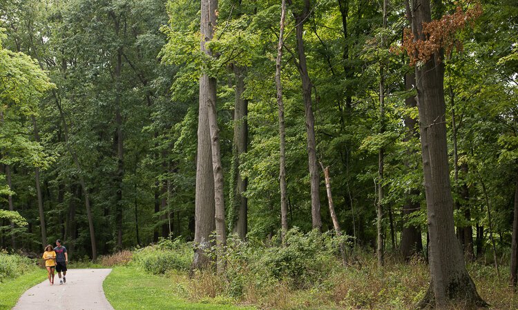
Cleveland Metroparks Trail Challenge 2022 trail routes
Here is a list of the 26 trails on the 2022 Cleveland Metroparks Trail Challenge routes and directions on how to complete the trail.
Acacia Reservation
Woodpecker Way Trail (1.7 miles). Start at the kiosk by the shelter near the parking lot off Cedar Road. Use the map at the kiosk, and then follow the Woodpecker Way Trail in either direction. This loop trail will bring you back to where you started on this relatively flat trail through an old golf course.
Bedford Reservation
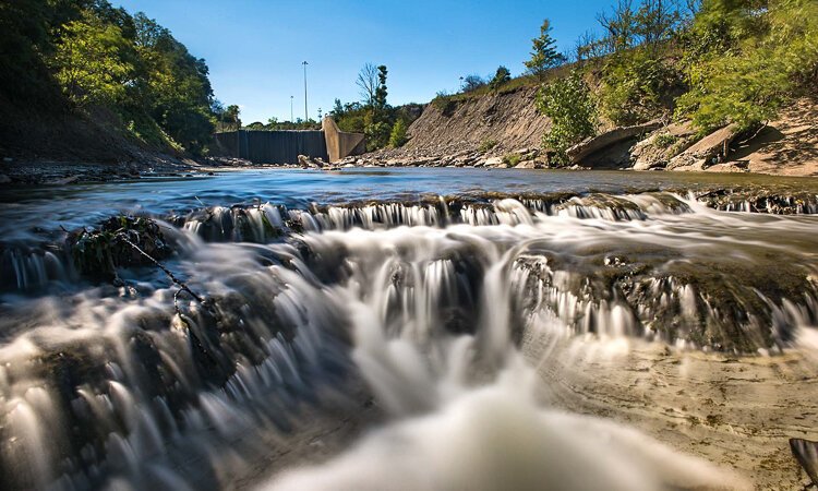
Viaduct Park Loop (0.4 miles): This short walk on a paved path is worth the special trip to Viaduct Park, a small park within Bedford Reservation close to downtown Bedford. Enjoy the Great Falls of Tinker’s Creek as well as the viaduct, tunnel, and more at this park that is full of industrial history.
Wight Oaks Loop (2.2 miles): Pay attention when looking for the park entrance as it is a small parking lot over a curb cut. Start at the Overlook Lane Trailhead. Cross the road and go left on the APT a very short distance before turning right into the woods on Wight Oaks Loop. This trail is best enjoyed by mountain bike as you meander through the woods over roots and rocks. Make sure you take the obvious short connector trail marked on the map to make this a fun loop. confirm the trail is open as this trail closes to all trail users depending on conditions.
 Big CreekBig Creek Reservation
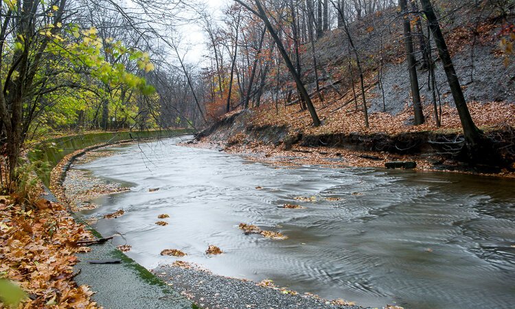
Lower Fern Hill (11.7 miles): Start at the Lower Fern Hill Picnic Area, and find the beautiful bridge over Big Creek. Go over the bridge and follow the APT south on this out-and-back route until you get to Lake Isaac. Enjoy reading some educational signage at Lake Isaac before turning around and heading back north to where you started.
Bradley Woods Reservation
Bunn’s Lake Loop (0.5 miles): Park at Bunn’s Lake Trailhead, and hike either direction around this lake created in 1986 to create an additional place for waterfowl and nature lovers to enjoy. This wide, flat paved trail is great for families with small children to enjoy as well as anyone with mobility concerns.
Brecksville Reservation
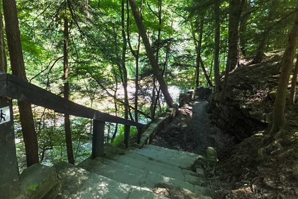
Gorge Loop Trail (1.2 miles): Start at the Chippewa Creek Gorge Trailhead, and get on the natural surface Hemlock Trail leaving the parking lot. Hike along the gorge until you can go left on the Gorge Loop Trail. Admire the intricate rock work on this scenic loop with lots of steps, access to Chippewa Creek, and stunning views of the Gorge. Continue on the Gorge Loop, crossing the Hemlock Trail, as you circle back to where you initially left the wider Hemlock Trail.
Deer Lick Loop (3.5 miles): Start at the Deer Lick Cave area, and get on the Deer Lick Loop marked with red. Navigate either direction on this newly remarked trail as it goes up and down, through ravines and over and through creeks. This beautiful trail loops around much of Brecksville Reservation, so you get to enjoy most of what the park has to offer.
 BrooksideBrookside Reservation
Brighton Park (0.8 mile): Start at Brighton Park and get the current map here. Enter the park off Henninger Road behind the Burger King, and then enjoy this short stroll exploring the paved and natural surface trails as you lead your way to the Big Creek Overlook. This new, 25-acre park has a nice paved out-and-back section and two small natural surface trails. As long as you explore the trails and make your way to the Big Creek Overlook, you completed this trail! The main paved trail, including the spur to the Overlook is great for all abilities.
Brookside Valley (1.6 miles): Enter off Ridge Road, and drive in and park near the green Brookside Valley Event Site building. Follow the sidewalk back the way you drove in along John Nagy Blvd. From the sidewalk side, view the large boulders installed to control storm surges of Big Creek, a major tributary of the Cuyahoga River. Continue to the park entrance; then turn around and follow the APT back. Visit this trail in the Spring to enjoy the pollinator garden and the scenic grove of cherry trees.
Euclid Creek Reservation
Kelley (3.6 miles): Start at Kelley Picnic Area, and head north as you enjoy this beautiful trail as it meanders through the woods following alongside Euclid Creek. Turn around when you get to the Highland/Upper Highland Picnic Area sign, and head on back.
Garfield Park Reservation
Garfield Loop (2.0 miles): Jump on this trail at Iron Springs Picnic Area Trailhead, and start on the all-purpose trail across from the kiosk. Head out parallel to the road keeping the big grassy field on your right. Stay on the paved trail as you go down the hill and loop back around to where you started as you enjoy the old, large tree lined trail through this historic park.
Hinckley Reservation
Worden’s Ledges (0.7 mile): Experience Worden’s Ledges Trailhead during this short, rocky but scenic loop trail through the southern portion of Hinckley Reservation. Take the loop trail to the left to go down a more gentle grade, keeping your eyes open as you search for the many historic carvings done by Stuart Noble. Finish by coming up the steeper section as you loop back to where you started.
Paddling Loop (1.5 miles): Launch from the ramp at Hinckley Lake Boathouse and take a lap skirting the edge of this inland, flatwater lake. You can even rent a kayak or SUP, making this a great opportunity if you are new to paddling. Trail Surface: Paved (APT) Natural Surface
Water—Huntington Reservation
Porter Creek (0.6 mile): Start at Porter Creek Trailhead, and follow the APT south to the bridge. Turn left just before the bridge to get on the dirt Porter Creek Trail at the sign and follow along the Porter Creek Trail before hitting up with the water access road. Turn left at the road and follow it back to where you started for this short loop.
Paddle Lake Erie (1.0 mile): Set off from the Kayak Drop Off Area, and paddle west alongside but outside the swimming area and back to enjoy the views of Cleveland. Be prepared for wind and waves during this advanced open water paddle on Lake Erie.
Lakefront Reservation
Edgewater (3.8 miles): Come visit the new Wendy Park Bridge on this fantastic route for 2022. Start at Edgewater Fishing Pier, and get on the APT just south of the concession stand. Travel towards the roundabout, and then head over to Wendy Park on the newly opened APT. Your destination is the Wendy Park Bridge, so after you have enjoyed the sights, sounds, and views from the bridge, turn around and head on back! This trail is great for all abilities.
Paddle Lake Erie (2.0 miles): Launch on the beach at Wendy Park and paddle towards the Historic Coast Guard Station as you loop around the inner harbor paddling counter-clockwise staying close to the breakwall, before heading back to the beach.
Mill Stream Run Reservation
Royalview Red Loop (5.5 miles): Start at the Royalview Reserved Shelter parking lot. Run, hike, or bike the Red Loop through young forests, and enjoy interacting with other trail users. Pay special attention to trail direction as it varies from day to day on this shared use mountain bike trail. Please visit clevelandmetroparks.com or Twitter (@CMPmtb) to confirm the trail is open as this trail closes to all trail users depending on conditions.
North Chagrin Reservation
NC2 (4.5 miles): Travel to Squire’s Castle Picnic Area, and then look for the NC2 equestrian trail that leads out from behind the picnic shelter. This route starts with a large climb up the hill before you make a big loop traveling through most of North Chagrin Reservation. Pay attention at the many junctions on this route and stay on the well signed NC2 route.
Ohio & Erie Canal Reservation
Towpath Trail (5.0 miles): Start at CanalWay Center. Make your way down the hill on the APT, and turn right once you cross over the canal to head north. Enjoy the views of the canals, various bridges, and the Cuyahoga River as you ride to Harvard Road. Turn around when you get to the obvious Harvard Road Trailhead.
Rocky River Reservation
Berea North (7.0 miles): Start off Valley Parkway at the Berea Falls Overlook, and head north on the APT. Ride the APT until you cross over the amazing Rocky River, at which point you have made it to the nature center, your turnaround point. Enjoy the nature center or relax along the Rocky River before you head back.
Fort Hill (1.0 miles): Start at Rocky River Nature Center Parking Area, and take the Fort Hill Loop Trail from the Nature Center, climbing all 155 of the Fort Hill stairs for spectacular views of Rocky River.
 South ChagrinSouth Chagrin Reservation
Henry Church Loop (0.6 mile): Start at Henry Church Jr. Rock Picnic Area and walk towards the river following the Henry Church Rock Loop. Use caution on this beautiful, recently restored trail as you hike along a ridge and enjoy many rock steps and wooden, elevated walkways as you enjoy views of the valley and the beautiful Chagrin River. Henry Church Jr. Rock can also be seen on this loop.
2022 Challenge Route (5.5 miles): Start at Miles Road Sledding Hill parking lot on the north side of Chagrin River Road. Hop on the bridle trail, and head under Miles Road. For this out-and-back route, stay on the blue Buckeye Trail if you are hiking, walking, or skiing, and stick to the bridle trail if you happen to be on a horse. Either way, you’ll encounter stream crossings, a few muddy sections, and glimpses of the Chagrin River along the way. Turn around when you reach the Polo Fields.
Washington Reservation
Arborview (4.5 miles): Start at Arborview Shelter. From the north side of the parking lot, cross over Washington Park Boulevard, and enjoy the APT as you head south (right). Cross Harvard Road, and continue south to Ohio and Erie Canal Reservation, crossing many industrial business entrances along the way. Enter that park and ride down the large hill to Canalway Center before turning around and heading back.
West Creek Reservation
Center Park (2.3 miles): Start at the small gravel parking lot at Center Park. Go down the Greenbriar Trail and turn right onto Skinner’s Run Trail. Relish the quietness this trail provides as you enjoy views of West Creek. Keep your eyes and ears open for wildlife as you hike to the end of Skinner’s Run Trail. Turn around at the Detzler Trailhead, and head back the way you came, making sure to turn left onto Greenbriar to get back where you started.

