Public input will help shape Cuyahoga County's plan for a linked green network
A joint plan between the Cuyahoga County Planning Commission, the Northeast Ohio Areawide Coordinating Agency (NOACA), and the Cleveland Metroparks to connect every community in the county through a network of greenways, trails, parks, transportation routes, and neighborhoods enters its second stage of planning this week.
Officials have completed an outline of the $300,000 Cuyahoga Greenways project—which is funded through $125,000 from NOACA, $150,000 from Cuyahoga County, and through the Metroparks and Bike Cleveland. Now the project enters the second round with officials asking for public input on the concept and initial plans. The group will hold three public meetings this week to gather feedback.
 “In round two, what you’re going to see is the analysis we’ve done so far and the data and feedback we’ve collected, as well as the results from the ongoing survey,” explains Jim Sonnhalter, the planning commission’s manager of planning services. “The goal of these meetings is to pull in as much information as we can. We have 59 communities in the county who will be responsible for these greenways.”
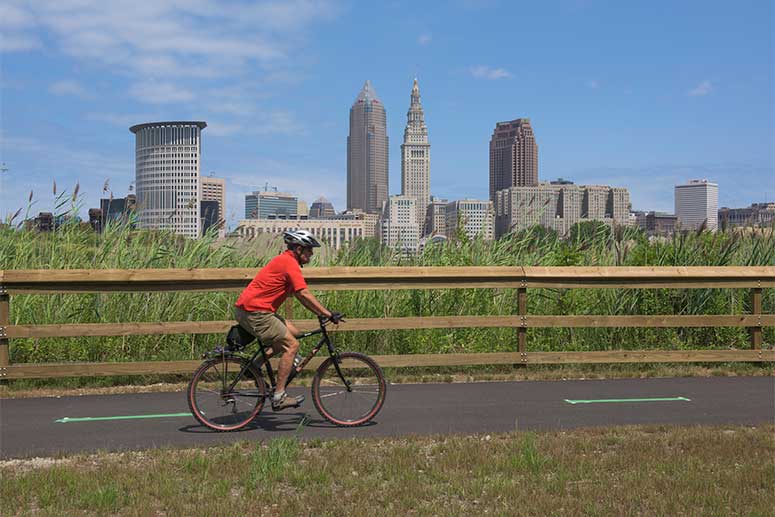
The Greenways project is an offshoot of the Eastside Greenway (completed in 2015), where designers envision a countywide system of trails that will link up downtown Cleveland, the lakefront, and trail projects like the Towpath Trail, the Lake Link Trail, and the Red Line Greenway.
But another component of the plan encompasses other modes of travel, such as RTA routes. “We’re really integrating into public transportation,” says Sonnhalter. “All RTA transits have bike racks, so if you’re commuting and you rely on RTA, it should be easy to get that first mile and last mile taken care of.”
Michael Mears, the planning commission’s senior planner, adds, “The candidate routes contain on- and off-street facilities to support existing and planned trail routes.”
In fact, Elaine Price, the planning commission’s principal planner, explains that the group looked at what other U.S. cities are planning in a similar vein. In particular, she says they looked at Minneapolis’ plan, as well as plans for Seattle, St. Louis, Detroit, Cincinnati, and Columbus.
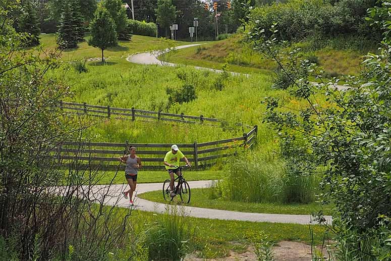
Price explains the plan is to provide a network conducive to exercise, leisure, and alternative transportation for shuttling around the city. "The whole network is both for recreation and for getting people around, so people can commute,” she says.
While the implementation phase is still down the road, officials say the public’s input will be valuable in moving forward. “We’re really interested in taking this to the public this week to hear what they have to say,” says Andrew Stahlke, transportation planner for NOACA.
The first meeting will be held today, Wednesday, January 17, at Hofbrauhaus Festsaal (1550 Chester Ave.) from 4:30 to 6:30 p.m. The other two meetings will be held tomorrow, Thursday, January 18—at Gemini Center’s Oak Room (21225 Lorain Road, Fairview Park) and at Beachwood Community Center (25325 Fairmount Blvd., Beachwood), both from 6:30 to 8:30 p.m.
Attendees will get an in-depth look at the existing plans and maps. “We know that people are going to come with their own ideas and make the connections in ways that benefit them,” says Sonnhalter.


