this way in: how wayfinding helps visitors navigate novel surroundings
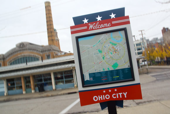
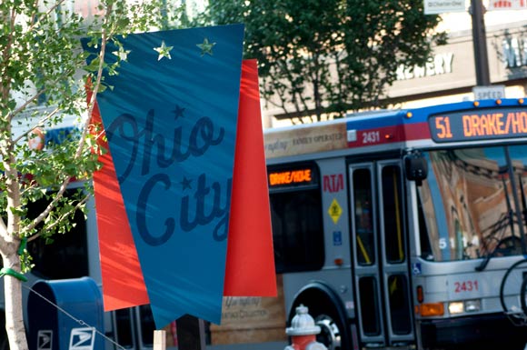
You might have noticed new signs sprouting up in the Ohio City neighborhood. Across the top in white cursive writing is the word Welcome, while the bottom is anchored with the words Ohio City. In the middle is a helpful map of the neighborhood. The whole of the sign mimics the shape and design of the Ohio City flag.
These signs are the product of a wayfinding program collaboratively executed by Ohio City Inc., the neighborhood’s community development corporation, and Studio Graphique, a brand development firm in Shaker Square.
Urban planner Kevin A. Lynch popularized the term “wayfinding” in his 1960 book Image of the City, where he reported on how observers understand and navigate their surroundings. Studio Graphique has built a business upon that methodology, creating successful wayfinding programs for Ohio City, Downtown and University Circle.
“Good sign programs play a large role in people’s perception and experience of a place,” explains Rachel Downey, Creative Director at Studio Graphique. “For visitors, it can be the difference between a negative or positive experience that bears repeating and, ultimately, spreading the word. In our view, wayfinding signage is one of your best and most visible opportunities to express your brand.”
Before embarking upon any wayfinding program, says Downey, it's vital to establish both the functional and aesthetic goals for it. In the short-term, wayfinding forms a neighborhood’s identity while making it more pedestrian- and vehicle-friendly. Over the long-term, wayfinding helps to better connect Cleveland neighborhoods, promoting the region as a whole.
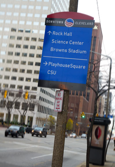
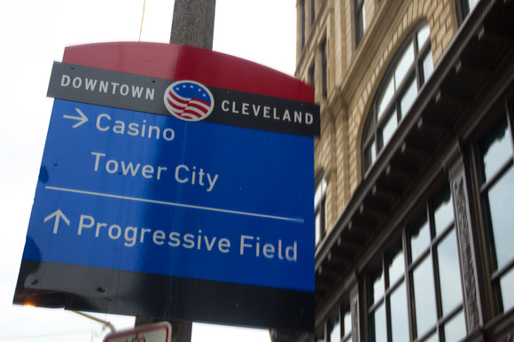
Downtown: Point people where they need to go
New high-profile destinations like the Horseshoe Casino, the Medical Mart and Convention Center, and the Greater Cleveland Aquarium necessitated the creation of a downtown wayfinding program, explains Gina Morris, Director of Marketing at Downtown Cleveland Alliance (DCA).
“With the amount of new tourism visitors and new businesses moving into downtown Cleveland, the importance of vehicular wayfinding was established as the most immediate priority,” notes Morris.
The signage system was launched in spring of this year thanks to a collaborative process involving DCA, the City Planning Commission, and the City of Cleveland, among others.
“The mission of wayfinding seems basic: Point people to where they need to go,” adds Morris. “Well-developed wayfinding instills a sense of confidence from its residents and welcomes visitors, guiding them to where they need to go.”
Downey agrees, adding the importance of developing a framework to deal with pedestrian traffic as well. “With a solution in place for the vehicular wayfinding needs, there is a lot of attention turned to a much-needed downtown pedestrian program,” she says, noting that such demand was voiced at a recent Positively Cleveland Travel and Tourism Summit.
Downey says both organizations are conducting separate studies and will merge their findings in the near future.
Ohio City: Lack of parking is a myth
Ohio City's evolution over the past decade has been well documented. Because of that, community leaders wanted to highlight longtime anchors like the 100-year-old West Side Market, while creating a sense of place and better directing guests around the neighborhood.
“With 36 new businesses opening in the last two years, we wanted to make sure that we were capitalizing on the over one million visitors a year to the West Side Market, and make sure everyone knows what businesses are in the neighborhood, and where they are located," explains Tom McNair, Director of Economic Development and Planning at Ohio City Inc.
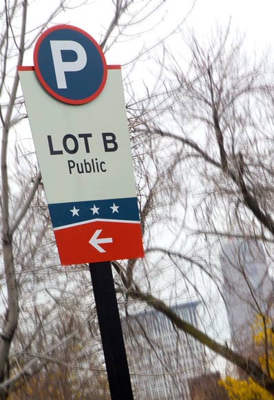
One issue that needed addressing, admits McNair, was parking -- but not in the way one might assume. The perceived lack of parking is pure myth, likely born from an information disconnect.
"Often, there is a greater problem with people connecting to parking spaces than an actual lack of parking spaces,” he says.
The solution was to institute a wayfinding program that highlighted entry points to existing parking spaces. Once guests arrived, map kiosks and walking guides would facilitate the pedestrian component. The overall “funky and industrial” design -- developed in concert by Ohio City Inc. and Studio Graphique -- was intended to highlight the re-energized neighborhood.
“The map kiosks help encourage pedestrian movement, even through some of the less populated zones like Bridge Avenue,” explains Downey. “And a hand-held walking guide is available to provide even more detail on the hundred-plus destinations [in the neighborhood]."
McNair says community feedback has been overwhelmingly positive. “It’s great seeing so many people stopping to use the maps,” he says. “It really lets you know that it is an effective program.”
Perhaps more importantly, Ohio City Inc. used the opportunity to better connect with surrounding neighborhoods by including directional arrows to places like Gordon Square, Downtown, and the new Greater Cleveland Aquarium.
University Circle: Consistent and simple, with a streamlined message
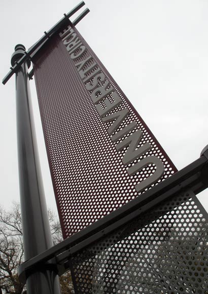
The Cleveland Orchestra, Cleveland Museum of Art, and Cleveland Institute of Music are just a handful of the world-class institutions jammed into the one-square-mile footprint of University Circle. With so many amenities, a University Circle wayfinding program to direct visitors was essential.
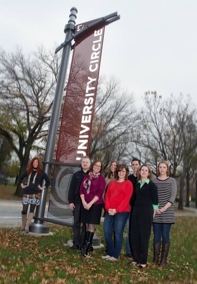
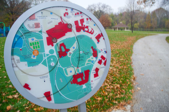
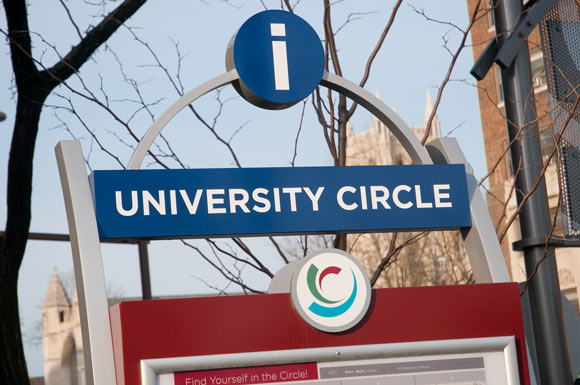
“University Circle is one of the best examples of a comprehensive wayfinding program, because both the vehicular system and pedestrian signage were addressed in 2008 and 2010, respectively,” says Downey, who worked on the project with Design Director Bryan Evans at University Circle Inc.
Evans and Downey spent hours looking at the geography of the neighborhood, which institutions were receiving the most visitors, the areas from which drivers were approaching, and overall traffic patterns.
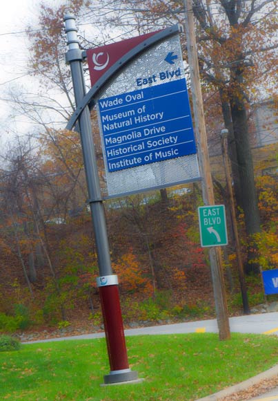
“Taking all these things into account, we created a messaging system and hierarchy that was consistent from the neighborhood edges to individual destinations,” Evans explains. “A great deal of time was put into the usability of the signs. How many messages can a driver safely see and comprehend at a given speed? How big does the font need to be, and what height is appropriate?”
The final product is a winning concept -- consistent and simple, with a streamlined message that achieves University Circle’s goal of highlighting the neighborhood.
“[The signs] help create a sense of place that marks the area as a special neighborhood and district," Evans says.
And as McNair puts it: “In the end, the larger community wins when we start taking a broader look at how all our neighborhoods fit together to make all of Cleveland the destination.”
Photos Bob Perkoski
The Studio Graphique crew photo: Rachel Downey, Creative Director (far left), back row: Michael Nilsen, Erica Deutsch, Kevin Fromet, Erin Krieger front row: Cathy Fromet, Hilary Demko, Danielle Reavis


