In search of Lake Erie: Tracing streams' paths and histories
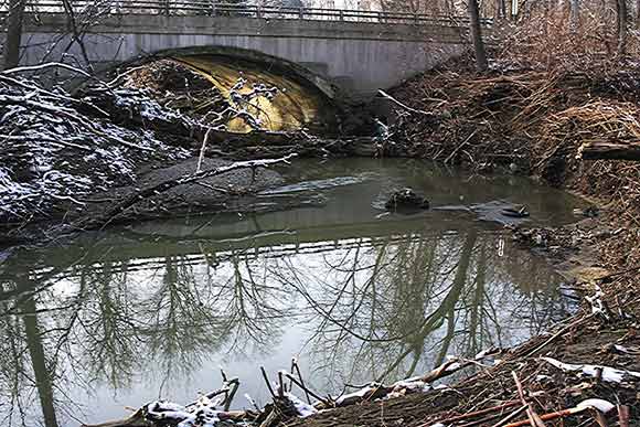
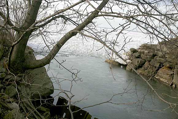
When Jim Miller retired as a Cleveland Heights probation officer nine years ago, he developed a rather unusual hobby: he began tracing the brooks and streams flowing through Cleveland’s east side, seeking out where they exist and where they flow underground all the way to Lake Erie.
“I began just looking at local waterways, trying to detect them and their link to the lake,” Miller recalls, adding that some streambeds are exposed and others have been erased over the decades. "When you look at it, it’s often a strong economic reason.”
Miller explains the economic correlation: he often found waterways that were buried on smaller properties, while the streams ran open on larger plots of land. “On a 1912 plot map, on the bigger lot sizes the stream is in the open,” he says. “By Coventry School on Lancashire Road, it goes under. By the Rockefeller estate and Forest Hills Park, it’s open.”
Miller’s interest in the waterways was piqued 15 years ago after reading his friend and Green City Blue Lake director David Beach's account of a bike ride along the Dugway Brook watershed, which runs through the Heights, into East Cleveland, Cleveland and Bratenahl before emptying into Lake Erie.
“You have to get some pretty good rubber boots to do this," he says. "It’s often not so clear what land you’re on. It’s often city land or hasn’t been lived on for 100 years. You have to do a lot of research to find out, because it’s kind of no-man’s land.”
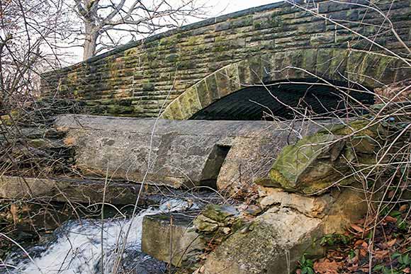
Miller explains that “Dugway Brook is one of the bluestone creeks that were of great economic benefit to the early European settlers in the 19th century,” he says of the long-gone quarries, "but which then were deemed of no value in the 20th century." Much of Dugway was buried in culverts.
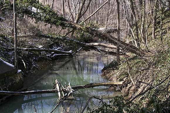
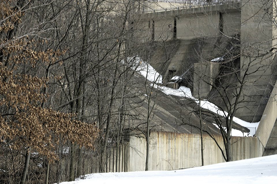
Miller has also traveled portions of Green Creek, Doan Brook and Nine Mile Creek, much of which is under Belvoir Boulevard, but there are sections still flowing in the open. “It’s in a steep ravine, so it couldn’t be built on,” says Miller. “If it had been a park, it would have been covered over.”
In fact, Miller cites a section of Dugway Brook between Lee Road and Euclid Heights Boulevard, near Cain Park, that was filled in during the 1980s to make way for a parking lot. Residents resisted the parking lot idea so the land remains vacant, although no water can be seen.
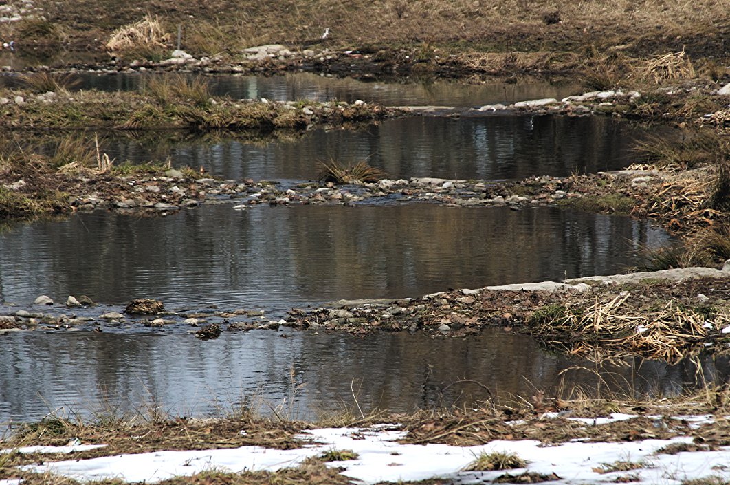
A reclamation success story, however, exists along a portion of Nine Mile Creek in South Euclid across from Notre Dame College. The city created a wetland area and planted native plants such as milkweed to attract birds and monarch butterflies. “It really looks nice and that branch of Nine Mike Creek has taken on life,” Miller says. “It isn’t the way it looked 100 years ago, but it’s nice.”
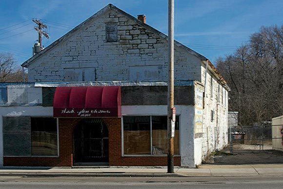
Further down, on Euclid Avenue, the creek now runs buried beside Luster Tannery, a circa 1848 building on the Cleveland-East Cleveland border. The tannery diverted essential water from the creek for its work in the 19th century. “When you get to Euclid Avenue, there is a building there that is probably the oldest industrial structure in the city,” explains Miller. It’s made of solid stone and the creek runs through the building.”
But Miller’s true love of the east side watersheds lies in Dugway Brook. He’s had marker signs erected, mostly along Lee Road in Cleveland Heights. “You probably didn’t even know this little stream had a name,” he says. “We can have wetlands there, so you can have water soaking in to prevent runoff and attract birds.”
Miller encourages people to keep an eye out for natural dips in the road – often indicating the presence of Dugway or other area watersheds.
His treks have sometimes been perilous, but it’s worth the journey. “It’s very hard to walk and see these things,” he warns. “In many cases, it’s quite difficult. You go down and it’s a steep slope. You have to do it slowly.”
But Miller frequently co-leads tamer walks around these creeks and watersheds. In 2014 he helped lead a tour of Dugway Brook east branch from Cain Park down to Forest Hills Park.
Another walk, led by Roy Larick, along with Miller and Korbi Roberts, is tentatively scheduled for May. "Cleveland Heights Rocks & Waters 2016: Nine Mile Creek" is part of the annual Preservation Month, co-sponsored by the Cleveland Heights Historical Society, Cleveland Heights Landmark Commission, Noble Neighbors and Heights Library.
On sidewalks and forest paths, the hike follows Quilliams Creek on its course to join Nine Mile Creek. Participants will learn the local geology, ecology and history as well as discuss how best to conserve this unique bluestone landscape.
Miller has documented his explorations through a photo journal on Facebook. He’s also logged his trips along Dugway on YouTube.


